
Scientists flooded GTA’s Los Santos to simulate rising seas
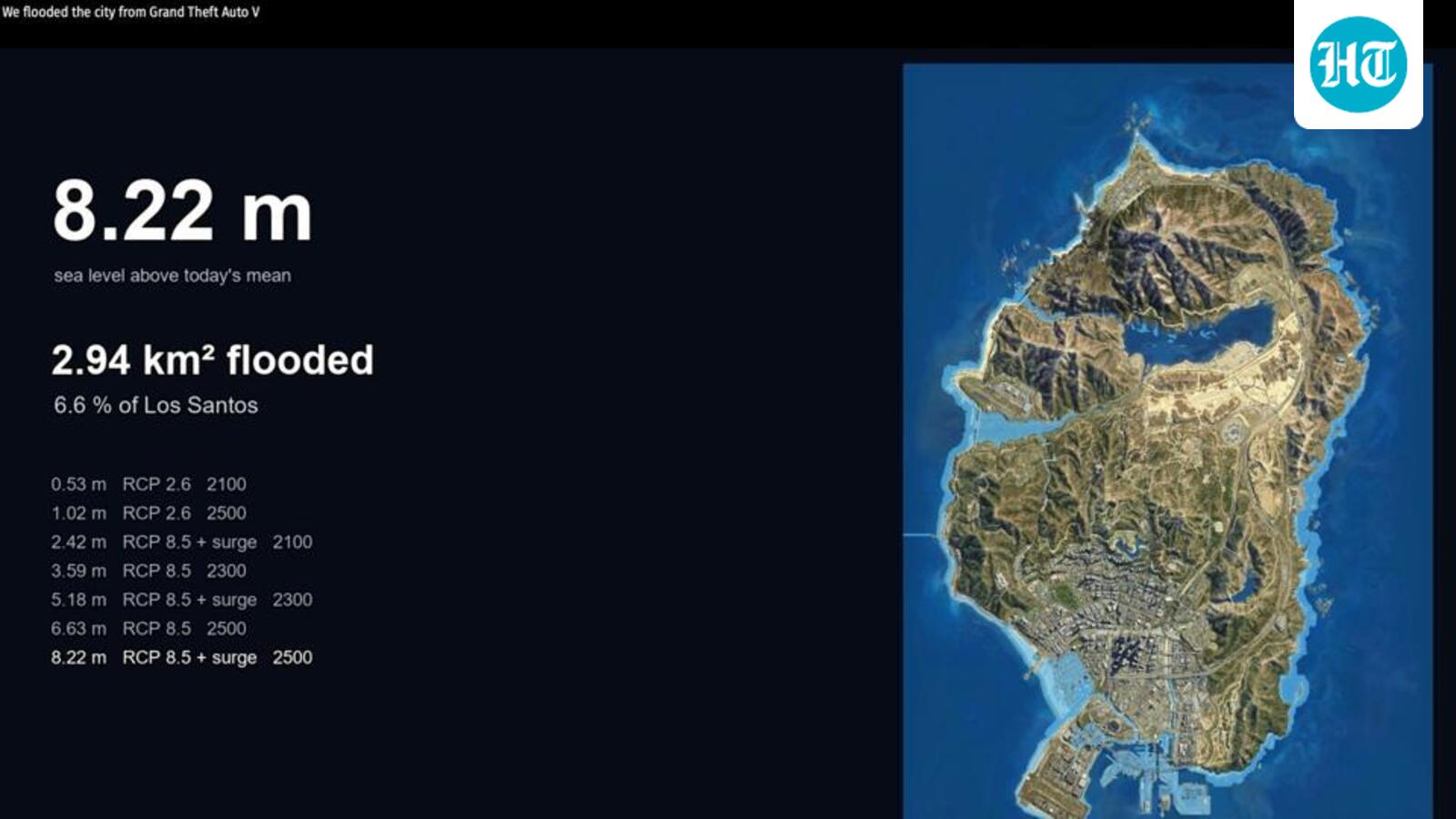
They used a fan-built 3D model of the map, and pinned it to coordinates with 11 control points and set the sea level from 31 shoreline points
- EgyptGTA 6 shatters entertainment industry records: The Washington Post
- SudanDrone attacks kill five children, injures 10 in Khartoum and Omdurman
- Saudi ArabiaSaudi FM discusses regional diplomacy with Pakistan’s Dar
- OmanOman marks National Day with a new phase of developments
- UAEIssue with automation system causes Delta flight delays in Atlanta
- QatarQatar Charity provides food baskets to thousands of refugees in Djibouti
- BahrainBahrain’s Smile Initiative Showcases Cancer Support Programmes at Abu Dhabi Conference
- IndiaActivists rally on Vizag Beach Road against data centres, demand cancellation of permissions
You may also like
 India‘CJP here to stay’: Dipke vows to fight for Goa’s land, identity; seeks scrapping of Section 39A
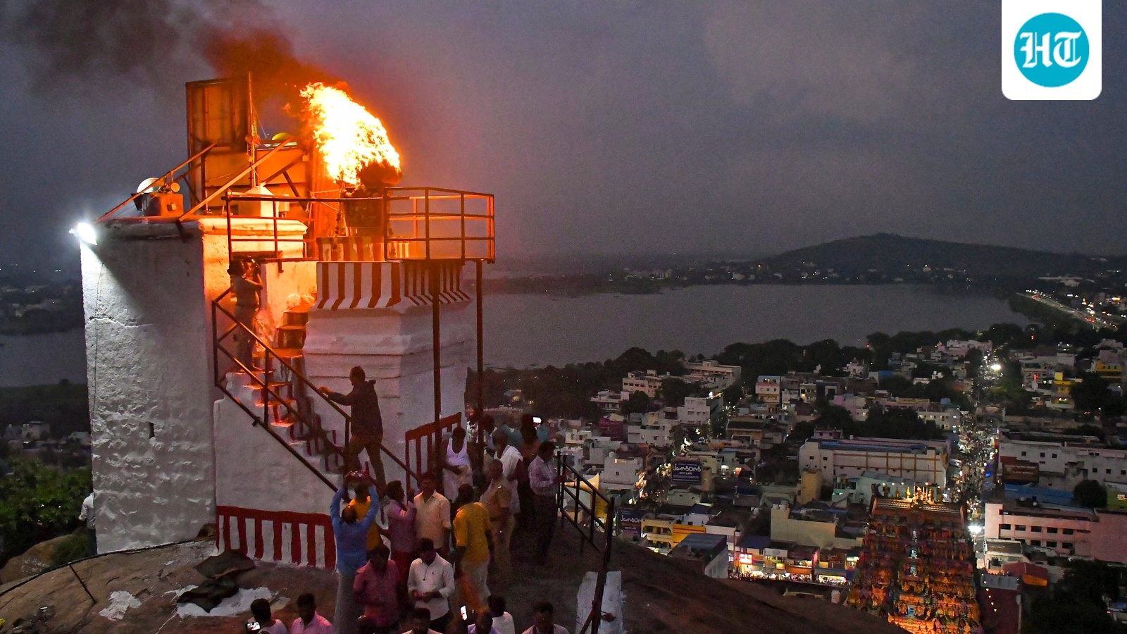 IndiaBJP accuses Tamil Nadu govt of ‘anti-hindu’ mindset over SC review plea on Karthigai Deepam
 IndiaCongress factional rift deepens in Keralam, dissenting leaders take grievances to Kharge in Delhi
 IndiaSamajwadi Party, Congress form 4-member panels each for seat-sharing talks in the run-up to UP polls